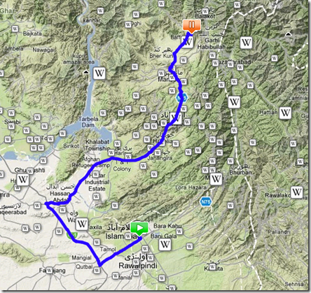
Start Date/Time:
05.02.2010 / 03:16:59 GMT
Duration:
4hr 22min
Distance:
183.5 km (1123 points)
Country: ![header=[Country]
body=[Pakistan]](http://static.gpsed.com/flags/pk.gif) Pakistan (Islamabad Capital Territory)
Pakistan (Islamabad Capital Territory)
City:
Islamabad -> Mansehra
Finish Date/Time:
05.02.2010 / 07:39:17 GMT
GPS Device:
BlackBerry 9000
Altitude (average):
876.6 m
Altitude (max):
1237 m
Speed (average):
41.9 km/h
http://gpsed.com/track/5950484351490809132
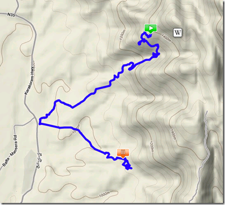
JLA to Forest Institute

Start Date/Time:
06.02.2010 / 10:05:05 GMT
Duration:
2hr 7min
Distance:
11.4 km (1091 points)
Country: ![header=[Country]
body=[Pakistan]](http://static.gpsed.com/flags/pk.gif) Pakistan (North-West Frontier Province)
Pakistan (North-West Frontier Province)
City:
Mansehra
Finish Date/Time:
06.02.2010 / 12:12:06 GMT
GPS Device:
BlackBerry 9000
Altitude (average):
1156.9 m
Altitude (max):
1380 m
Speed (average):
5.4 km/h
Speed (max):
13.3 km/h
http://gpsed.com/track/5950484351601644007


No comments:
Post a Comment